The Image Atlas is currently undergoing an update; some data may be temporarily unavailable. Apologies for the inconvenience.

Show results for


(click to remove filter)

    Mission

    Spacecraft

    Instrument

    Target

    Product Type

    Lighting Geometry

    Emission Angle Range
    (in degrees)

     to 


    Incidence Angle Range
    (in degrees)

     to 


    Phase Angle Range
    (in degrees)

     to 


    Filters

    Lat/Lon Bounding Box

    Center Latitude Range
    (in degrees)

     to 


    Center Longitude Range
    (in degrees)

    (Coordinates in Positive East Longitude)

     to 


    Time Constraints

    Spacecraft Clock Start Count Range

     to 


    Start Time Range

     to 


    Stop Time Range

     to 


    Product Creation Time Range

     to 

    Orbital Mission Constraints

    Declination
    (in degrees)

     to 


    Map Projection Rotation
    (in degrees)

     to 


    Map Projection Type


    Orbit Number

     to 


    North Azimuth
    (in degrees)

     to 


    Right Ascension
    (in degrees)

     to 


    Slant Distance
    (in kilometers)

     to 


    Slew Angle
    (in degrees)

     to 


    Smear Azimuth
    (in degrees)

     to 


    Solar Azimuth
    (in degrees)

     to 


    Solar Distance
    (in kilometers)

     to 


    Solar Longitude
    (in degrees)

     to 


    Spacecraft Altitude
    (in kilometers)

     to 


    Spacecraft Pitch

     to 


    Spacecraft Roll

     to 


    Spacecraft Yaw

     to 


    Sub Solar Azimuth

     to 


    Sub Solar Latitude
    (in degrees)

     to 


    Sub Solar Longitude
    (in degrees)

     to 


    Sub Spacecraft Latitude
    (in degrees)

     to 


    Sub Spacecraft Longitude
    (in degrees)

     to 


    Target Distance
    (in kilometers)

     to 


    Twist Angle
    (in degrees)

     to 


    Landed Mission Constraints


    Eye


    Frame Type


    Image Type


    Local True Solar Time

     to 


    Planet Day Number

     to 


    RMC Arm

     to 


    RMC CHIMRA

     to 


    RMC Drill

     to 


    RMC Drive

     to 


    RMC DRT

     to 


    RMC HGA

     to 


    RMC IC

     to 


    RMC IDD

     to 


    RMC PMA

     to 


    RMC Pose

     to 


    RMC Site

     to 


    Rover Instrument Azimuth
    (in degrees)

     to 


    Rover Instrument Elevation
    (in degrees)

     to 


    Site Instrument Azimuth
    (in degrees)

     to 


    Site Instrument Elevation
    (in degrees)

     to 


    Site Solar Azimuth
    (in degrees)

     to 


    Site Solar Elevation
    (in degrees)

     to 


    PDS Archive Constraints

    File Name


    Product ID


    Advanced Constraints

    Select Constraint Field:

    Select Operator:

    Select Value(s):

    MRO HiRISE Image LandmarksBeta

    Image Class
    (MRO HiRISE RDRs Only)


    Number of Bright Dunes

     to 


    Number of Craters

     to 


    Number of Dark Dunes

     to 


    Number of Impacts

     to 


    Number of Slope Streaks

     to 


    Number of Spiders

     to 


    Number of Swiss Cheeses

     to 


    MSL Image ContentBeta


    Image Class


    Confidence Level

     to 


    Cassini ISS Image ContentBeta


    Image Class


    Galileo SSI Europa Image ContentBeta


    Image Class


    Process

    A random forest classifier was trained to classify individual pixels using image and texture features, followed by human review.

    Available Classes
    • Chaos - blocky, disturbed terrain
    • Crater - circular bowl-shaped depression, presumed from an impact
    • Datagap - missing data
    • Plains - smooth undisturbed terrain
    • Ridge - narrow curvilinear feature
    • Space - regions outside of Europa surface

    MER Image ContentBeta


    Image Class


    Available Classes
    • Artifacts - Applied if the image contains artifacts of any kind, including black rectangles and sunglint.
    • ’Bright’ Soil - Any soil within rover tracks or a soil trench that is ’Bright’; Soil brighter than the surrounding soil; to be interpreted visually rather than by the scientific definition
    • Clasts - Rocks smaller than about 10cm wide; since size of rocks is hard to judge, this label was applied rather liberally to images with 5 or more small-looking rocks
    • Close-up Rock - Applied to images where a large rock occupies the majority of the frame and is the clear focus of the image
    • Distant Vista - Distant images of Mars’ landscape
    • Dunes/Ripples - Any large sand dunes or smaller ripple marks made in soil
    • Float Rocks - Rocks present that are ’floating’, i.e. sitting on the surface rather than sticking out of the ground
    • Nearby Surface - Close- and Mid-range images of the surface; if the horizon is present, only used when the nearby surface is obstructing the view of further-away landmarks
    • Pancam Calibration Target - Any image with Pancam Calibration Target present
    • RAT-Brushed Target - Rocks or other surface objects that have been brushed by the RAT; indicated by dark areas on large rocks
    • RAT Hole - Any images with holes created by the RAT; can be in rock or ground
    • Rock (Linear Features) - Rocks with linear features on their surface; applied to outcrops and large float rocks where features are clearly visible. Could include ventifacts, joints or layered rocks
    • Rock (Rounded Features) - Rocks with rounded surfaces or features; again, applied to outcrops and large float rocks where features are clearly visible
    • Rock Outcrop - Large rock formations protruding from the ground; can be very tall or just barely above the surface
    • Rover Arm - Images with Rover Arm Hardware present - requires arm and hardware to be present in the same image, but very few images with arm hardware present fit that criterion
    • Rover Deck - Any image with rover deck present, even if in the edge of the image
    • Rover Parts - Applied if there are any rover parts visible in the image
    • Rover Tracks - Any image with rover tracks visibly present
    • Sky - Applied broadly to any image including the sky or horizon, even if the sky isn’t the focus of the image
    • Soil - Broadly, any image with visible soil, not including pictures where the ground is completely dark
    • Soil Trench - Applied to any clearly rover-made depression in soil that is deeper than regular rover tracks; if track marks are present in the trench, both labels are applied
    • Spherules - Applied to any picture containing clearly visible spherules
    Please note: Machine learning classification results of the MER Pancam images are generated using a multi-label convolution neural network, which means each image may be assigned with more than one class.

    Need help?


    Maps


    Reports

    Select Report Fields:

    Selecting Images

    Images may be selected in three ways:

    - By clicking on their checkboxes on the right,
    - By clicking the "all on page" checkbox above, or
    - By clicking the "all in query" checkbox above.

    Selecting Fields

    Choose the fields you would like in your report by control-clicking them from the list (or Command-clicking on MacOS). Additionally, you may select a range of fields by first clicking on one field and then, while holding shift, clicking on a second field.

    If a particular product does not have a value for any of the chosen fields, an empty string will be entered in its place in the CSV file.

    Due to URI length restrictions, if the total character length of the fields you have chosen is greater than 2000, all available fields will be chosen automatically.

    Obtaining Report

    Once you have chosen some products on the right and selected fields from the box on the left, click the "Download CSV" button.

    If you chose either individual products or the "all products on page" option, a CSV file will be downloaded for you. 
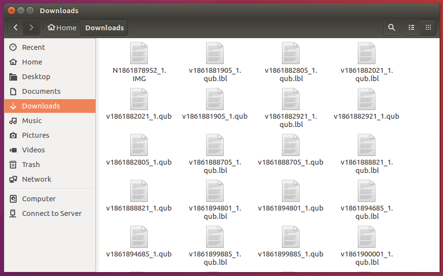
If you chose the "all products in query" option, however, a WGET script will be created that can be sourced to obtain the CSV report.

    What is WGET?

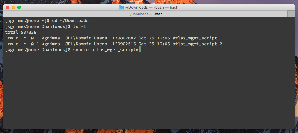
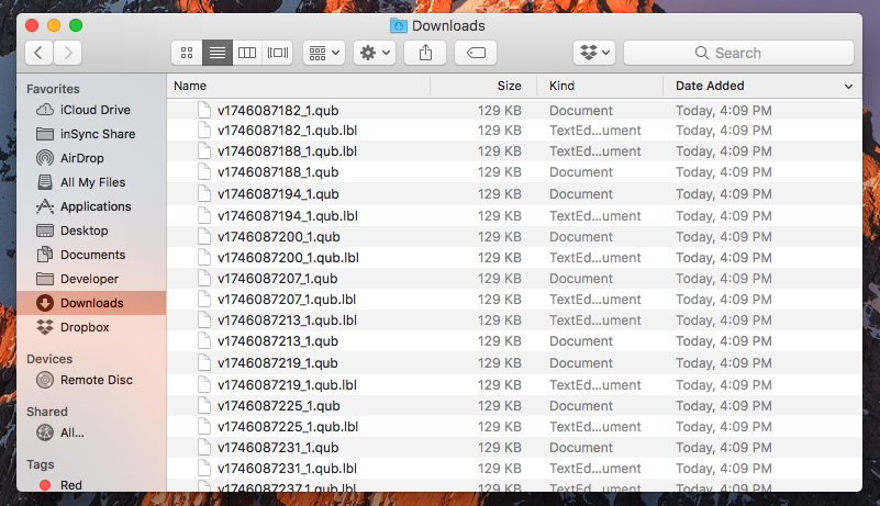
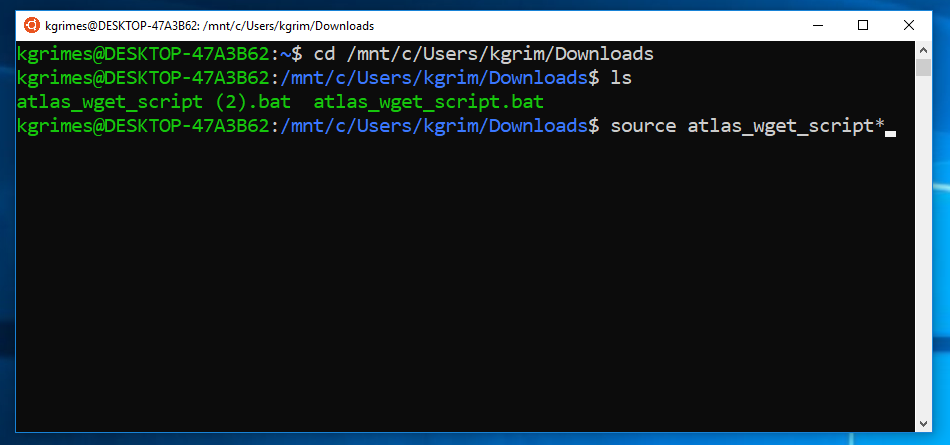
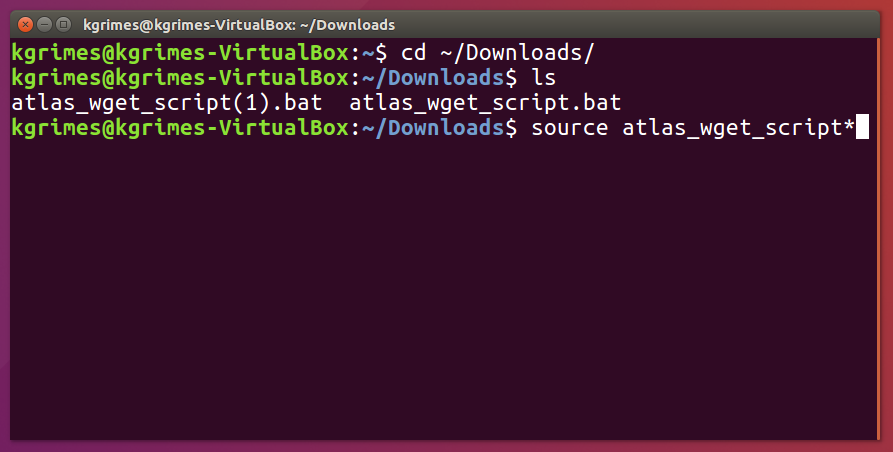
    A WGET file can be used in Unix based operating systems (Solaris, Linux, MacOS). Source the WGET file in a terminal window to download your report.

    Windows users will need to install WGET before executing each wget command from the command prompt. To obtain WGET, either build the code from source or download one of the pre-built binaries recommended by GNU.

    NOTE: Secured access will require a .wgetrc file for authorization. Refer to your WGET help for setup information.

    Send questions via email to webmaster.

    Bulk File Download

    Selecting Images

    Images may be selected for download in three ways:

    - By clicking on their checkboxes on the right,
    - By clicking the "all on current page" checkbox above, or
    - By clicking the "all images returned by the current query" checkbox above.

    Downloading

    Once you have chosen the products you would like to download, click the "Create WGET File" button to generate a WGET file of all the selected images.

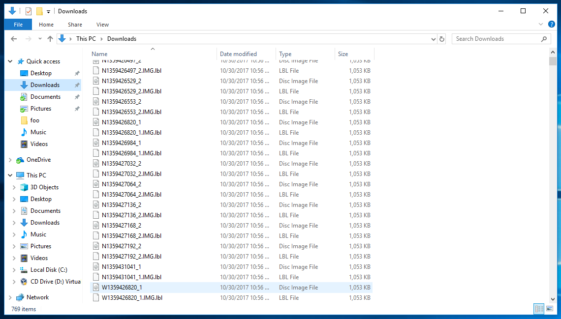
    As an alternative, images may be directly downloaded to the user's system with the "Bulk File Download" button. This is not a recommended approach, as the downloads will hog your browser's resources until they have all completed.

    What is WGET?

    A wget file can be used in Unix based operating systems (Solaris, Linux, macOS). Source the wget file in a terminal window to download products.

    Windows users will need to install wget before executing each wget command from the command prompt. To obtain wget, either build the code from source or download one of the pre-built binaries recommended by GNU.

    NOTE: Secured access will require a .wgetrc file for authorization. Refer to your wget help for setup information.

    Send questions via email to webmaster.

    Feedback
    hide this