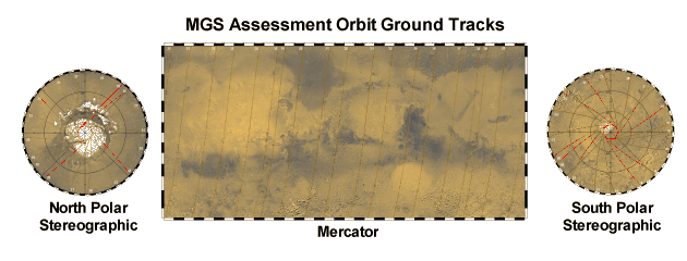
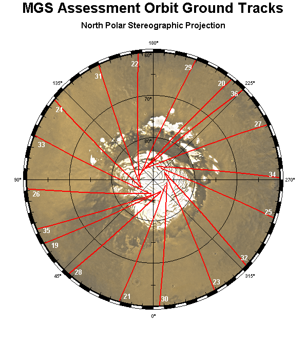
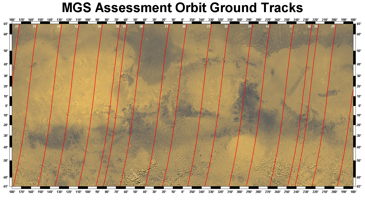
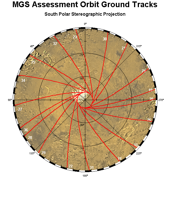
The MGS Science Sampler contains science data products acquired mainly during the Assessment Sub-Phase of the mission (October 13 through November 7, 1997; orbits 19-36). These Web pages provide a quick look at reduced versions of some of the data, with links to the actual data products. Maps showing the assessment orbit ground tracks are below. Links to the Science Sampler documentation files are at the bottom of this page.
| MAG/ER | MOC | MOLA | RSS | TES |
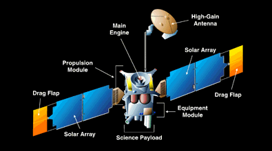
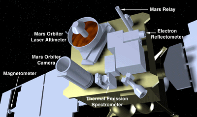
Here are diagrams of the spacecraft and the instrument payload from the Mars Global Surveyor Mission Web Site (the MGS web site link requires Internet access).
Click on one of the maps below to see it in full resolution.
|
North Polar Stereographic 696 x 596, 186 Kb |
Mercator 886 x 1540, 1 Mb |
South Polar Stereographic 696 x 596, 217 Kb |
|
AAREADME
A brief introduction to this volume. Includes a complete directory structure with links to files. |
VOLINFO
Detailed discussion of MGS mission, instruments, and data products on this volume. |
 |
|
 |