Browse image for File: G79SN134.IMG
Back to the CD home pageBack to the CD browser page
If NasaView installed as helper: Go to the full resolution image
| 135.00°E | 126.87°E | ||
|---|---|---|---|
| 80.58°S | 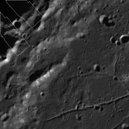 |
78.91°S | |
| 78.91°S | 77.46 °S | ||
| 143.13°E | 135.00°E | ||
| CD Volume | CL_6021 |
|---|---|
| File Name | G79SN134.IMG |
| Westernmost Longitude | 126.87 |
| Easternmost Longitude | 143.13 |
| Minimum Latitude | -80.58 |
| Maximum Latitude | -77.46 |
| Lines | 2250 |
| Line Samples | 2250 |
| Map Scale (pixels/degree) | 1010.76 |
| Map Resolution (kilometers/pixel) | 0.03 |
| Map Projection | STEREOGRAPHIC |