Medium b/w (750nm) Browse image for UI31N195.IMG
Back to the CD home page.Go to previous or next image.
Change to the enhanced color or color ratio image.
View Large browse image.
Back to enhanced color, color ratio, or b/w (750nm) browser page.
If multi-band version of NasaView is installed as a helper: Go to the full resolution image.
| 191.8°E | 198.3°E | ||
|---|---|---|---|
| 35°N | 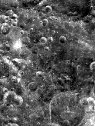
| 35°N | |
| 28°N | 28°N | ||
| 192.0°E | 198.0°E | ||
| CD Volume | CL_4041 |
|---|---|
| Directory (Folder) Location | DATA |
| File Name | UI31N195.IMG |
| Westernmost Longitude | 192.0000 |
| Easternmost Longitude | 198.0187 |
| Minimum Latitude | 27.9868 |
| Maximum Latitude | 35.0000 |
| Lines | 2127 |
| Line Samples | 1612 |
| Map Scale (kilometers/pixel) | 0.1000 |
| Map Resolution (pixels/degree) | 303.2335 |
| Center Longitude (of map projection) | 195.0000 |
| Map Projection | SINUSOIDAL |