Browse image for File: G79NN276.IMG
Back to the CD home pageBack to the CD browser page
If NasaView installed as helper: Go to the full resolution image
| 270.00°E | 270.00°E | ||
|---|---|---|---|
| 78.90°N | 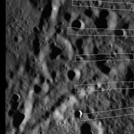 |
81.11°N | |
| 78.69°N | 80.84 °N | ||
| 281.31°E | 284.03°E | ||
| CD Volume | CL_6019 |
|---|---|
| File Name | G79NN276.IMG |
| Westernmost Longitude | 270.00 |
| Easternmost Longitude | 284.03 |
| Minimum Latitude | 78.69 |
| Maximum Latitude | 81.11 |
| Lines | 2250 |
| Line Samples | 2250 |
| Map Scale (pixels/degree) | 1010.76 |
| Map Resolution (kilometers/pixel) | 0.03 |
| Map Projection | STEREOGRAPHIC |